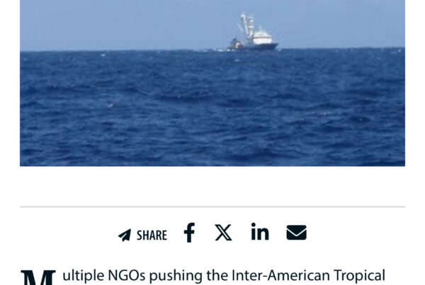
The Republic of the Marshall Islands has committed to sharing its vessel monitoring data on Global Fishing Watch’s public map, bolstering ocean governance and promoting compliance throughout some of the world’s richest fishing grounds. This momentous decision was announced on April 14, 2022 at the seventh Our Oceans Conference by the Honorable John M. Silk, Minister of Natural Resources and Commerce for the Republic of the Marshall Islands. The declaration marks the first Pacific island nation to make its fishing activity visible to the world.
The partnership agreement was signed between the Marshall Islands Marine Resources Authority (MIMRA) and Global Fishing Watch, symbolizing the two organizations’ dedication to advancing transparency of fishing activities in the Pacific Islands region, home to the world’s most productive tuna fisheries.
All vessels flying the Marshall Islands’ flag and foreign vessels fishing in its fishery waters will appear on Global Fishing Watch’s map through the integration of the government’s vessel monitoring system (VMS) data. These vessels primarily target tropical tuna species of the Western and Central Pacific ocean, which hold environmental, economic and cultural significance across the region’s island nations—around half of the world’s tuna catch comes from these waters.